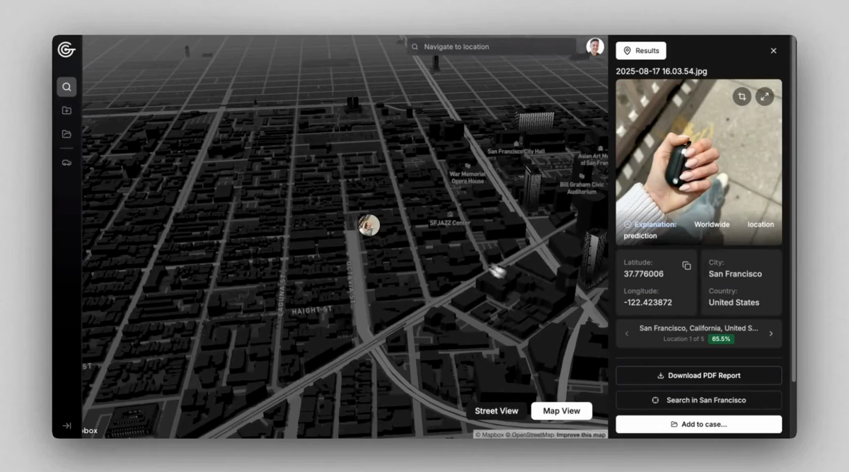
GeoSpy: AI Geolocation Tool Used by Law Enforcement
The Miami-Dade Sheriff’s Office (MDSO) and the Los Angeles Police Department (LAPD) have bought access to GeoSpy, an AI tool that can near instantly geolocate a photo using clues in the image such as architecture and vegetation.
The emails provide the first confirmed purchases of GeoSpy’s technology by law enforcement agencies. On its website GeoSpy has previously published details of investigations it says used the technology, but did not name any agencies who bought the tool.
“The Cyber Crimes Bureau is piloting a new analytical tool called GeoSpy. Early testing shows promise for developing investigative leads by identifying geospatial and temporal patterns,” an MDSO email reads.
Implications and Context
The adoption of AI tools like GeoSpy by law enforcement raises important questions about privacy, surveillance, and the potential impact on civil liberties. The accuracy and reliability of such tools, as well as the methods of their use, require careful evaluation and an adequate regulatory framework to prevent abuse and discrimination.


💬 Comments (0)
🔒 Log in or register to comment on articles.
No comments yet. Be the first to comment!